Here’s How to Check Your Area’s Rating and What It Means for Homeowners
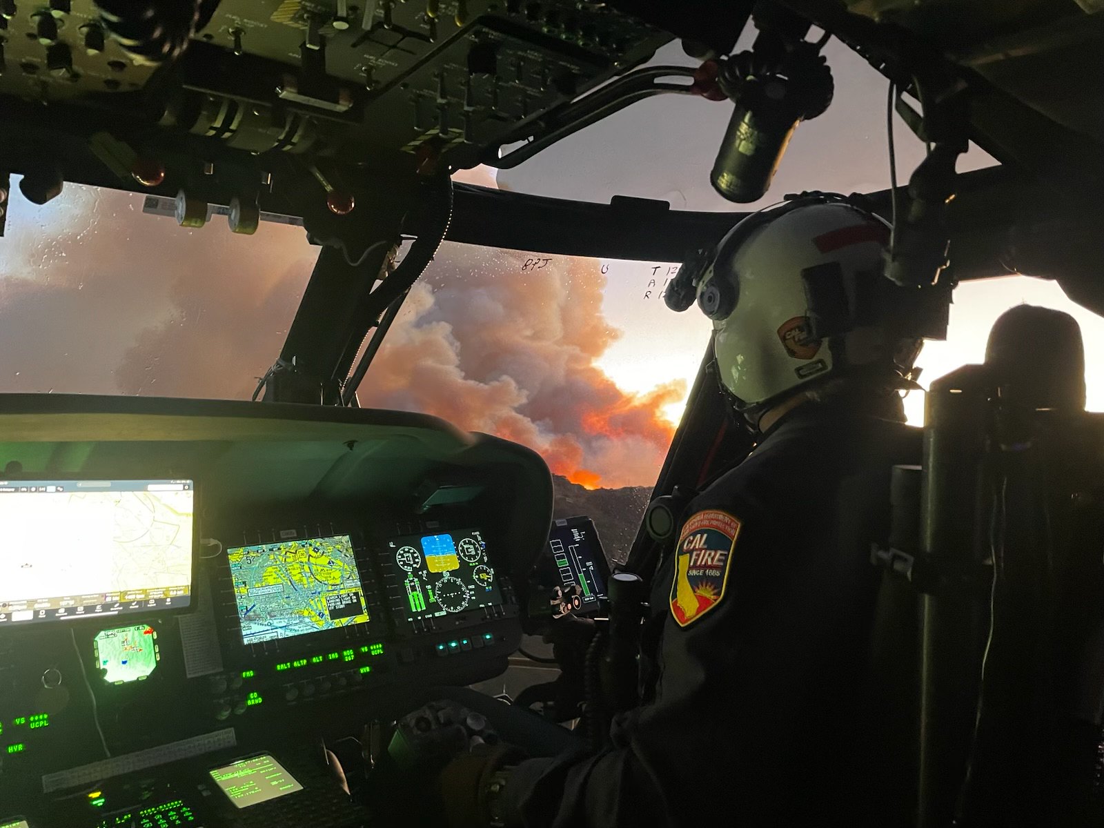
For the first time in 10 years, the California Department of Forestry and Fire Protection (Cal Fire) has updated its Fire Hazard Severity Zone maps, revealing heightened wildfire risks across Los Angeles. The newly released maps assess the fire danger levels in areas where local fire departments manage wildfires, offering a clearer picture of which neighborhoods face the greatest threat.
Residents can check their neighborhood’s fire hazard rating by entering their address into Cal Fire’s interactive map on its website. The updated maps are part of a statewide effort to reassess fire risks in light of recent destructive wildfires and climate-related changes.
The highest hazard zones now include areas north and south of the Santa Monica Mountains, as well as both sides of the 405 Freeway through the Sepulveda Pass. These regions, already prone to wildfires, have seen increased risk due to factors such as persistent drought, dry vegetation, and strong seasonal winds.
While the latest updates focus on areas under local fire department jurisdiction, Cal Fire previously remapped state-controlled areas in 2022, also showing an increase in high-risk zones. Federal lands, which account for nearly 45% of California’s total land area, are not included in either set of maps.
The Fire Hazard Severity Zone maps were developed in response to California’s history of devastating wildfires. Under the California Public Resources Code 4201-4204, mapping of fire hazards is mandated statewide, covering all State Responsibility Areas (SRA).
To assess wildfire hazard levels, Cal Fire uses a science-based model that evaluates:
- Fire history
- Existing and potential fuel sources (natural vegetation)
- Predicted flame length and blowing embers
- Terrain and slope
- Typical fire weather patterns in the area
The maps categorize three levels of fire hazard in the State Responsibility Areas:
- Moderate
- High
- Very High
Cal Fire emphasizes that the maps measure “hazard,” not “risk.” This distinction is similar to flood zone maps, which predict the probability of flooding but do not account for mitigation efforts such as levees or drainage systems.
- “Hazard” refers to the likelihood of wildfire occurrence based on physical conditions over a 30 to 50-year period, without considering recent mitigation efforts such as fuel reduction or home hardening.
- “Risk” accounts for factors that could reduce wildfire damage, such as defensible space, ignition-resistant construction, and wildfire prevention programs.
With these updated maps, Los Angeles residents in high-risk areas should take extra precautions, including:
- Creating and maintaining defensible space around homes
- Following fire-resistant landscaping guidelines
- Strengthening homes with ignition-resistant materials
- Staying informed on evacuation routes and emergency preparedness plans
The new fire hazard maps are expected to influence building codes, insurance rates, and local emergency planning efforts. Homeowners, developers, and local officials are encouraged to review the maps to better understand fire risks and prepare accordingly.